The Next Generation GNSS Receiver
Revolutionary Accuracy and
Reliability
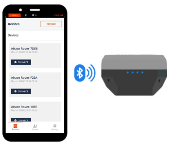
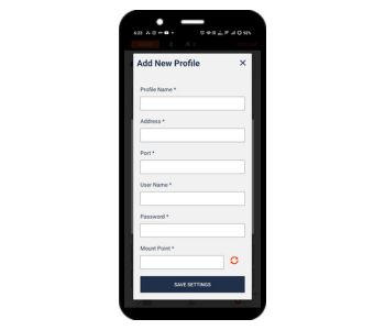
Simple Setup
Set up in just few simple steps
1. Enable Bluetooth

2. Configure Details

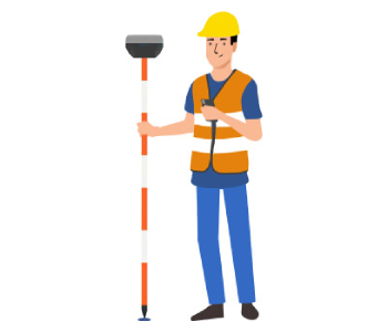
3. Collect your points

AIRACE ONE
Surveying with Airace One
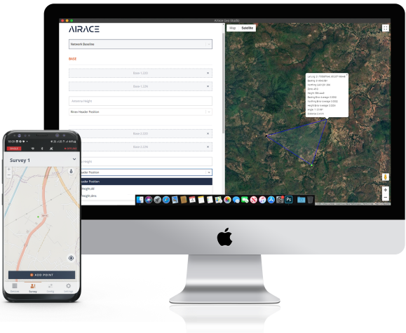
With Airace One, quickly set up the GNSS receiver and
start work collecting or staking out points. The
app supports thousands of coordinate systems
and is available on multiple platforms.

Point Collection
Save points and export data to CSV
You can record millimeter-precise coordinates for each
point. The app can export and import data in the CSV, DXF,
KML and Shapefile formats used by CAD, GIS, and most
other professional survey software. You can also share
collected data using mail, or a smart messaging system
from your phone.
Coordinate systems based on
-
WGS84
-
NAD83
-
GDA2020
Stakeout
Stakeout can be used to find the exact locations
of points. They can be collected in the Airace One app
or imported from other CAD or GIS
software.
